Caribbean Isle on Navarre Beach after Hurricane Isaias: the gate, the streets, the seawalls, and the docks on Santa Rosa Sound
Caribbean Isle is a gated community of elevated homes on the Sound side of Navarre Beach. The HOA signed with Coyne Commercial Group after Isaias, and this flight documents the common elements the association is responsible for: the entrance and gate, the private streets, the seawalls and bulkheads along Santa Rosa Sound, the community shoreline, and the docks.
HOA claims on the Panhandle live and die on the line between what the association owns and what each homeowner owns. The street, the seawall, the gate, and the shared dock are the association's. The roof on each home usually is not. So the flight is built around the common property: long passes down the streets, the shoreline from end to end, and a straight-down plan view at the end that shows every lot in relation to the water.
If you manage or sit on the board of a homeowners association on Navarre Beach, Gulf Breeze, or along the Sound, call us before the carrier's adjuster scopes the common areas. We read the governing documents and the policy together, and that is where the number comes from.
Shot list for the 1:42 flight over Navarre Beach
There is no narration on this footage. This is what is on screen at each point of the flight, written by the public adjuster who commissioned it.
- 0:00
The Caribbean Isle gated entrance from the air: coral sign columns, the iron gate, and the cracked entry drive.
- 0:13
Down an interior street between elevated homes, palms stripped, lots covered in sand, the Sound at the end of the road.
- 0:26
A cul-de-sac of three-story homes on pilings with the roads and drives in frame.
- 0:38
Sound-side homes with the seawall and bulkhead along the water, sand beach below it.
- 0:51
A blue home on the Sound with its private dock running out into Santa Rosa Sound.
- 1:04
Low pass along a street past the community pool enclosure and more elevated homes.
- 1:17
The Sound shoreline from altitude: homes, docks, and the strip of beach between the seawalls and the water.
- 1:30
Straight-down plan view of the community: the curve of the streets, every roof, and the docks on the Sound.
The other 3 full-length flights
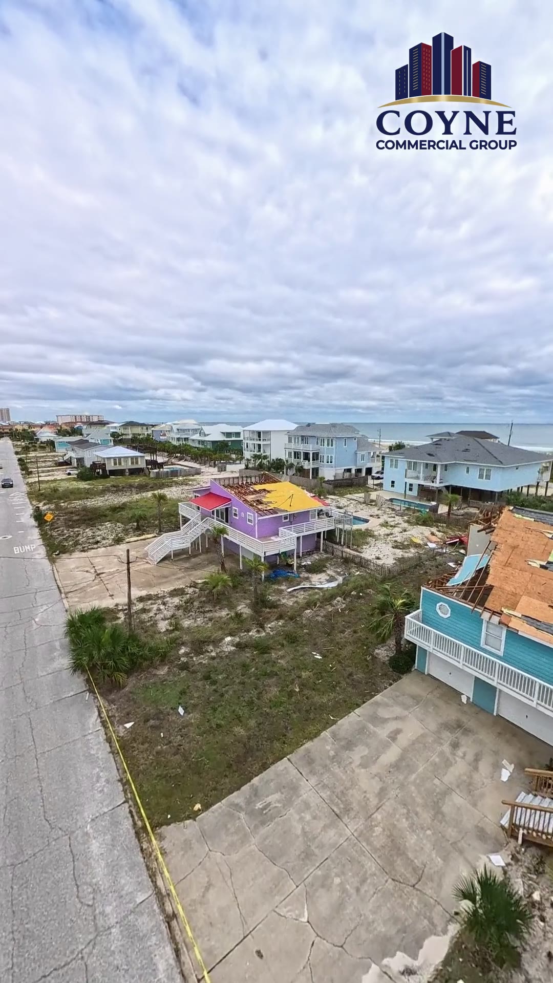
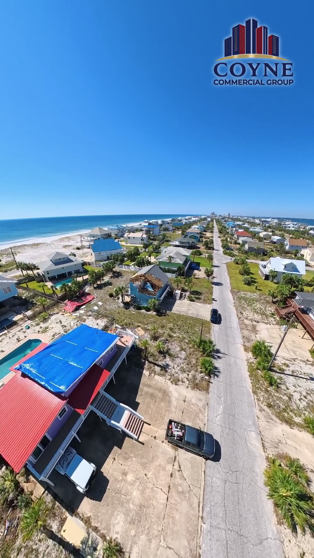
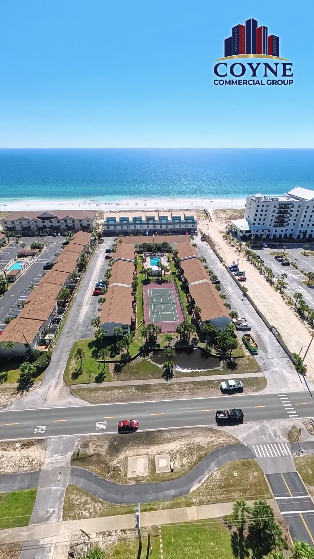
All Hurricane Isaias drone footage, Pensacola and the Panhandle
Call me before you call your insurance company.
I am in the Panhandle inspecting buildings from Pensacola Beach to Destin. A phone call costs nothing and we can usually tell you in ten minutes whether your claim needs representation.
321-501-6718Coyne Commercial Group is a licensed Florida public adjusting firm. Fla. PA Lic. W482618 / Firm Lic. G350978. Fees are set in a written contract and disclosed before you sign anything.
Request an Isaias inspection
We respond within 24 hours.
Public adjuster pages by city
- Pensacola public adjuster
- Pensacola Beach public adjuster
- Gulf Breeze public adjuster
- Navarre public adjuster
- Fort Walton Beach public adjuster
- Okaloosa Island public adjuster
- Destin public adjuster
- Miramar Beach public adjuster
- Santa Rosa Beach public adjuster
- Panama City Beach public adjuster
- Panama City public adjuster