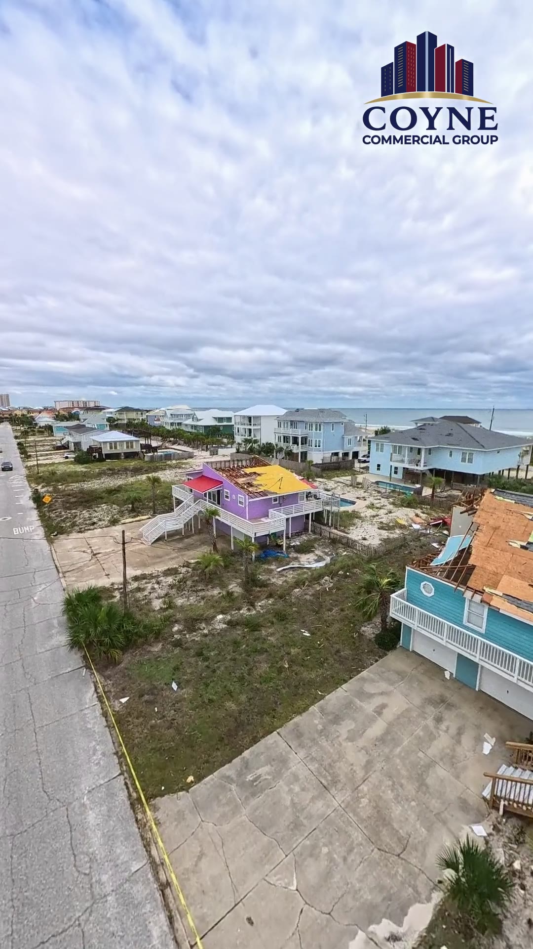
Pensacola Beach after Hurricane Isaias in full sun: the tarped roofs, the open decks, and the houses that lost their centers
Same island, same day, after the clouds broke. This is the longer of the two Pensacola Beach flights and the one that shows the pattern best: from altitude the blue tarps run the length of the island, and when the drone drops to roof height you can see why. Metal roofs with the center section torn down to the framing, gable ends open, porches and decks on the Sound side with the roof gone and the furniture still in place.
In full sun the sand tells the second story. Lots that were landscaped are covered in beach sand pushed inland by the surge, with debris lines against the pilings. On a Florida policy that is usually two carriers: wind on the roof and envelope, flood or surge below the water line. Keep the photos separate, keep a tape in the frame, and do not let one carrier scope the other carrier's damage.
Commercial owners, condominium boards, and hotel operators on Pensacola Beach can call us for a free review. We are inspecting buildings on the island this week.
Shot list for the 1:46 flight over Pensacola Beach
There is no narration on this footage. This is what is on screen at each point of the flight, written by the public adjuster who commissioned it.
- 0:00
High and wide down the island. Gulf on the left, Sound on the right, blue tarps on roof after roof along the residential streets.
- 0:13
Drop to roof height over a white standing-seam metal roof with its center section torn away to the framing. Decking and interior open.
- 0:26
A two-tone house with the porch roof gone and a blue tarp over the main roof. Sand and debris in the yard, Santa Rosa Sound behind.
- 0:40
A brown house on pilings surrounded by surge-pushed sand where the lot used to be landscaped.
- 0:53
A white house with a blue tarp over the gable and the carport roof gone. Rooftop view toward the Gulf-front towers.
- 1:06
Long straight-down-the-street pass. Tarps, open roofs, and debris piles at the curb on both sides.
- 1:19
Low pass along a yellow house on the Sound side, past the pilings to the water and a dock.
- 1:32
A metal-roof house on the Sound with roofing and debris scattered through the yard. Pull up over the shoreline to finish.
The other 3 full-length flights
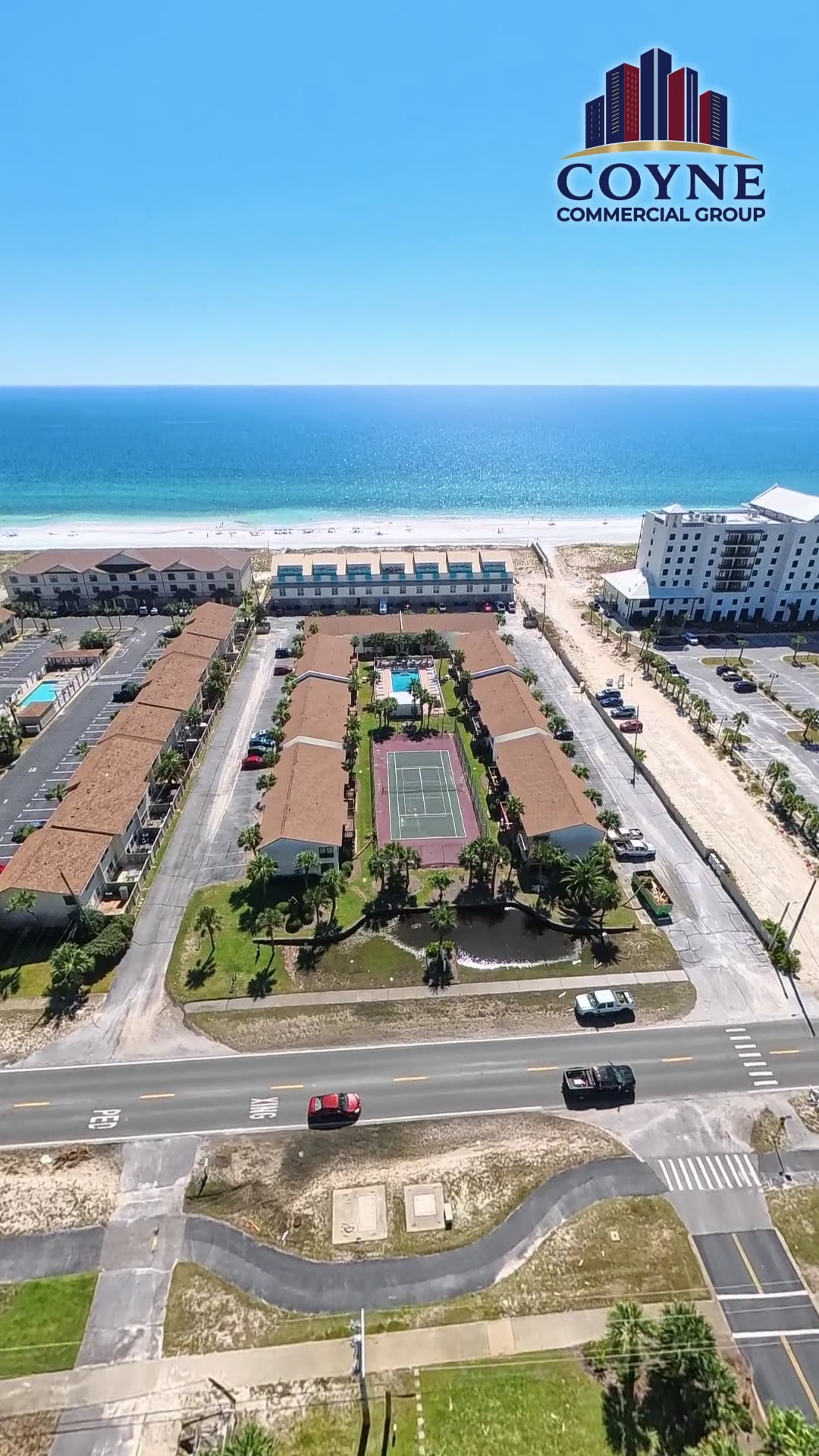
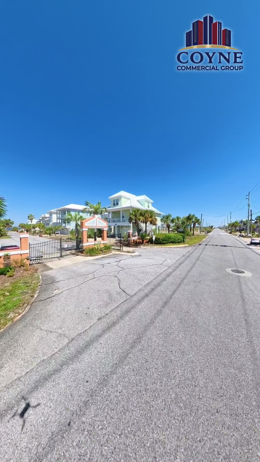
All Hurricane Isaias drone footage, Pensacola and the Panhandle
Call me before you call your insurance company.
I am in the Panhandle inspecting buildings from Pensacola Beach to Destin. A phone call costs nothing and we can usually tell you in ten minutes whether your claim needs representation.
321-501-6718Coyne Commercial Group is a licensed Florida public adjusting firm. Fla. PA Lic. W482618 / Firm Lic. G350978. Fees are set in a written contract and disclosed before you sign anything.
Request an Isaias inspection
We respond within 24 hours.
Public adjuster pages by city
- Pensacola public adjuster
- Pensacola Beach public adjuster
- Gulf Breeze public adjuster
- Navarre public adjuster
- Fort Walton Beach public adjuster
- Okaloosa Island public adjuster
- Destin public adjuster
- Miramar Beach public adjuster
- Santa Rosa Beach public adjuster
- Panama City Beach public adjuster
- Panama City public adjuster